Details
Umbwe Route Detailed Description
This route is a lot more direct, steep, and short, approaching the summit from the southern side of the Mountain. The route’s trail turns Eastwards towards Barranco Camp and crosses underneath Mount Kilimanjaro’s Ice Field to the South at Barranco Camp on a path known as the Southern Circuit before reaching your last camp, Barafu, from where you will summit.
Coming down the Mountain, the trail takes a different approach, using the Mweka Route for the descent.
At Tranquil Kilimanjaro, we offer the Umbwe Route package with two options: the 6-day Umbwe Route and the 7-day Umbwe Route climbing packages. The 7-day Umbwe route itinerary has an extra acclimatisation day on the third day to Barranco Camp.
In the past, the Umbwe Route used to hold the title of being the shortest, most direct, and steepest route for summiting Mount Kilimanjaro, up until the opening of the Western Breach Route.
Difficulty rating: Extremely challenging
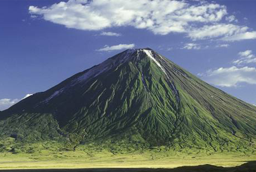
Height: The distance covered between the beginning of the Umbwe route to Uhuru peak is approximately 5,895 meters (19,341 feet)
Duration: The recommended number of days for climbing Kilimanjaro using the Umbwe route is 6 or 7 days, giving you an extra day or so for acclimatisation. Using 5 days is also possible, but not recommended as it excludes the acclimatisation day.
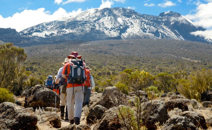
Trail conditions: The trail begins well but progresses into a steep slope, whereby sometimes you will have to use trees and roots as support to haul yourself forward as you hike on rocky ground. Going up higher to the alpine zone of Kilimanjaro, you will encounter strong winds carrying elements along.
Where is the Umbwe route located?
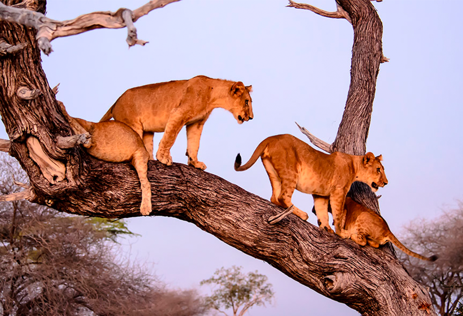
The Umbwe route is located on the foot slopes of Mount Kilimanjaro, to the South. It is an easily accessible trail that could easily be the most difficult trail on the mountain that begins at the South of Mount Kilimanjaro that leads its way up to the Southern Ice field and finally using Barafu as its summit starting point. Summiting using the Umbwe route, the trail avoids the Crater Camp.
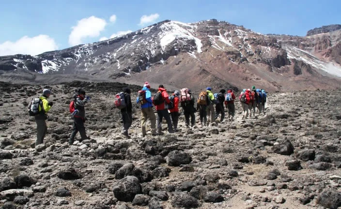
The Umbwe route ascends vertically taking a northerly direction to Barranco Wall where it joins in with Mount Kilimanjaro’s Shira, Lemosho, and Machame routes.
Elevation: 2944m/9659ft to 3986m/13,077ft
Altitude gained: 1042m
After a good nights sleep and a hearty breakfast we emerge from the rain forest and continue on a steep ascending path, along the Umbwe ridge as it descends slightly to Barranco camp situated in the valley. Temperatures begin to drop
Elevation: 4034m/13,235ft to 4662m/15,295ft
Altitude gained: 628m
We continue up toward Barafu Camp, and once reached you have now completed the South Circuit, which offers a variety of breathtaking views of the summit from many different angles. An early dinner and rest as we prepare for summit night. Overnight at Barafu Camp.
Elevation: 3106m/10,190ft to 1633m/5358ft
Altitude lost: 1473m
After breakfast and a heartfelt ceremony of appreciation and team bonding with your crew it’s time to say goodbye. We continue the descent down to the Mweka Park Gate to receive your summit certificates. As the weather is drastically warmer, the terrain is wet, muddy and steep and we highly recommend Gaiters and trekking poles.
From the gate, a vehicle will meet you at Mweka village to drive you back to your hotel in Moshi (about 30 minutes). Enjoy a long over due hot shower, dinner and celebrations!!


Write Your Review